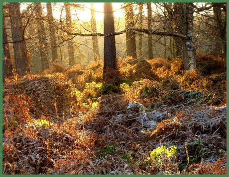
Landscape

Menu of areas of Cheshire, the Wirral, Lancashire and the Peak District covered on this site, click link for information:-
C denotes Cheshire W denotes the Wirral P =Peak District National Park L =Lancashire
| Dee Estuary W | Forest of Bowland L | Hilbre Island W | Peak District National Park |
| Silverdale L | Wirral Peninsula | ||
Lakes and Reservoirs
Forests and Woodland
Country Parks and Nature Reserves
Caves and Caverns
Hills and Tors
Long Distance Trails
| Baker Way C | Bridgewater Way C | Dane Valley Way P | Delamere Way C |
| Goyt Way P | Gritstone Trail P & C |
North Cheshire Way C | Ribble Way L |
| Sandstone Trail C | South Cheshire Way C | Wirral Way W | |
Valleys, Dales and Gorges
Waterfalls
| Fairy Glen, Appley Bridge L |
Kinder Downfall P | Ingersley Vale Waterfall P | Ingleton Waterfalls L |
| Lumb Spout Waterfall L | Lumsdale Falls P | Three Shires Head P | Tiger Clough Waterfall L |
| William Clough P | |||
Other Landscape features
| Bridgewater Canal C | Hilbre Island W | Peak Forest Canal P | |
