The Dane Valley Way
The Dane Valley Way, a 40.06 mile long distance footpath extends from the River Wye and the Pavilion Gardens in Buxton and climbs to the to the source of the River Dane at Dane Head. It then continues to the confluence of the River Dane with the River Wheelock at Middlewich. After an initial 3 miles of climbing the rest of the route is generally downhill.
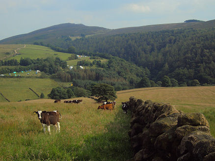
The Dane Valley near Gradbach
The route follows, where possible, the course of the River Dane though Derbyshire and Cheshire, passing the summit of Grin Hill, 437 metres (1,434ft) above sea level, where the the folly known as Solomon's Temple stands from where there are spectacular views across the High Peak. It goes on through the hamlets of Wincle and Gradbach, Danebridge and Swythamley, passing the famous 'Hanging Stone' perched on a hillside and the scenic Three Shires Head beauty spot on bleak Axe Edge Moor. In the eighteenth century, Three Shires Head was a place where criminals and coiners evaded capture from the forces of the law by crossing into a neighbouring county as then it was only possible for police to act within their own county limits. The way continues through Eaton, Congleton, Swettenham and Holmes Chapel. The second half of the route includes significant road walking.
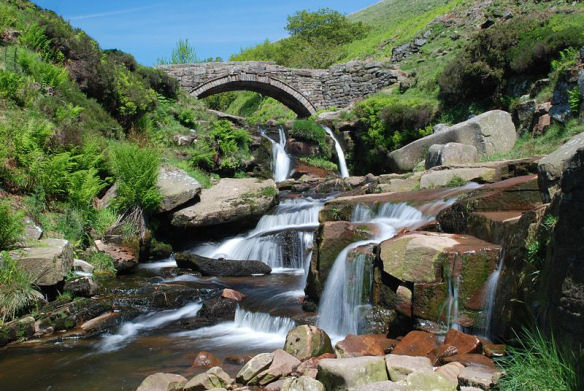
Three Shires Head- where 3 counties meet
There are links with the Midshires and Staffordshire Ways, the Gritstone Trail, the South Cheshire Way, the Cheshire Ring Canal Walk and Trent and Mersey Canal Walk.