Haigh Country Park
OS Grid ref:- SD 597085
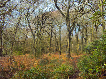
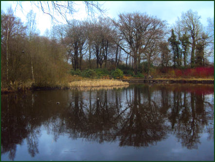
Set in 250 acres of wood and parkland, Haigh Country Park near Wigan has superb views across the Douglas Valley to the Welsh Hills. The country park boasts a range of facilities, which include include a play area, miniature railway, mini golf, craft gallery, information centre, gift shop and cafeteria.
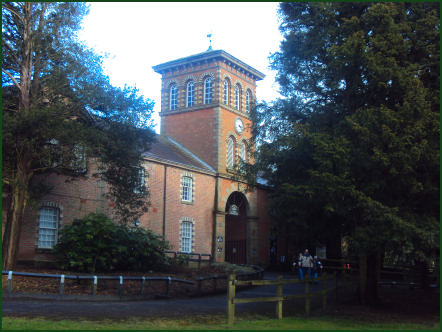
Previously the home of the Earl of Crawford and Balcarres, Haigh Hall was built between 1827 and 1840 by James Lindsay, 7th Earl of Balcarres. The hall replaced an ancient manor house and was the Lindsay family's home until 1947 when it was sold to Wigan Council. The estate was previously owned by the de Bradshaigh family, before being inherited by Elizabeth Dalrymple who married Alexander Lindsay, 6th Earl of Balcarres.
The 18 hole golf course is probably one of the challenging courses in the region. The playground caters for children of all ages with swings, ladybird rides, a bouncy castle and a slide - surrounded by seats for parents and guardians.
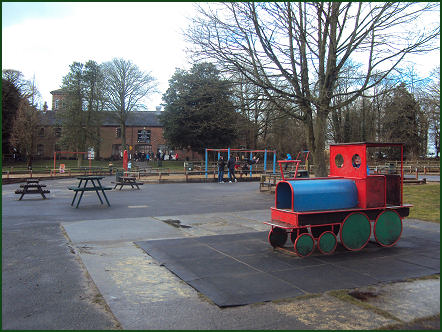
Crazy Golf, featuring 18 holes is available. The 15" Gauge Railway, which first opened in July 1986, takes the visitor on an interesting and scenic ride around the woodlands past the walled gardens and Swan Pond. There are two large car parks with room for over 1,000 cars within easy distance of all the facilities. Haigh Hall has disabled parking facilities and a drop-off point. Coaches are welcome.
Directions
Haigh Country Park is within easy reach of both the M6 (Junction 27) and the M61 (Junction 6). If approaching from the M6, take the A49 towards Standish, then the B5239 to Haigh. Look out for the B5239 and Aspull, then Haigh, when leaving the M61. Alternatively, Haigh Country Park can easily be found close to the two main A roads, the A6 and the A49. The B roads to look for are the B5238 and the B5239.
Satellite Navigation Co-ordinates
Lat = 53 34 18.2n Lon = 2 36 34.0w