The Sandstone Trail
The Sandstone Trail offers a 55-kilometre (34 miles) long-distance walkers' path, which runs from the ancient market town of Frodsham , passing rocky outcrops, woodlands, castles and historic churches through to Whitchurch which lies just across the Shropshire border. First created in 1974, the trail was further extended into the town centres of Frodsham and Whitchurch in 2000, to provide better links with public transport. By common consensus, the Sandstone Trail is probably the best long distance footpath in Cheshire. Much of the route follows the dramatic, thickly wooded sandstone ridge that runs across the Cheshire Plain.
Beeston Castle, seen from the Sandstone Trail
The trail is divided into three main sections, each of which is about 18 kilometres (11.3 miles) in length. The northern section commences at Frodsham, with a steep climb from Frodsham town centre up to the War Memorial at the top of Frodsam Hill which provides extensive views over the Mersey estuary to the distinctive Liverpool Skyline beyond. The Woodhouses Iron Age Fort is a point of interest along this section.
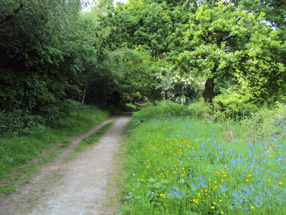
The route follows the edge of woodland along Alvanley Cliff, where particularly fine sandstone was quarried locally and used to rebuild Chester Castle and Eaton Hall. The route continues through attractive Delamere Forest, on through the wooded ravine of Gresty's Waste to Willington, at the heart of Cheshire's fruit farming country.
Gresty's Waste on the Sandstone Trail
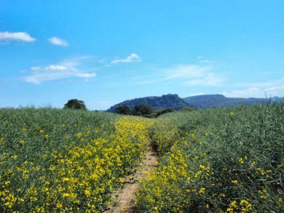
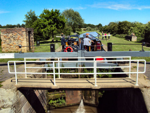
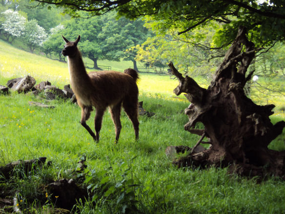
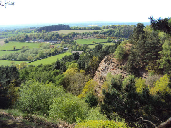
The central section covers Willington to Bickerton. The Trail crosses the Shropshire Union Canal at Wharton's Lock, originally the Chester Canal, it was built in the 1770's. The trail continues, crossing the scenic wooded Peckforton Hills and passing imposing Beeston Castle, perched high on a sandstone crag, the castle was built in 1337 by Ranulf, Earl of Chester to defend the Welsh border. The Trail swings west to Rawhead, the highest point on the route at 227metres (746 feet ). The red cliffs, sculpted by wind and the rain, are spectacular, while the views to the west on a clear day are equally stunning.
Whartons Lock, on the Shropshire Union Canal
The southern section runs from Bickerton to Whitchurch, passing the fascinating St Chad's Chapel, built in 1689 and Grindley Brook staircase lock on the Llangollen branch of the Shropshire Union Canal. The end of the Sandstone Trail is the Jubilee Park in the centre of Whitchurch.
The trail can be walked in sections and may be joined at numerous places along the route, waymarked side paths provide easy access to towns, villages, pubs, cafes and other amenities. The walk has a few steep sections, but no major climbs are involved. The way is clearly marked with a mixture of fingerposts and yellow waymark discs with a letter S inside a footprint.
Other places of interest on the Sandstone Trail include:- Peckforton Castle, a 19th century folly, modeled on a Norman castle and built for Admiral Tollemarche , the Bickerton Hills, Maiden Castle, an Iron Age fort and Wharton's & Willeymoor locks on the Shropshire Union Canal.
The Peckforton Hills - one of the most scenic parts of the Trail
Part of the path is used for the Sandstone Trail Races in early October organised by Deeside Orienteering Club; the longer race has been run since 1977.