The South Cheshire Way
The South Cheshire Way is a long-distance footpath which runs for 32 miles (51km) through Cheshire, though parts lie in Shropshire and Staffordshire.
Peckforton Hills
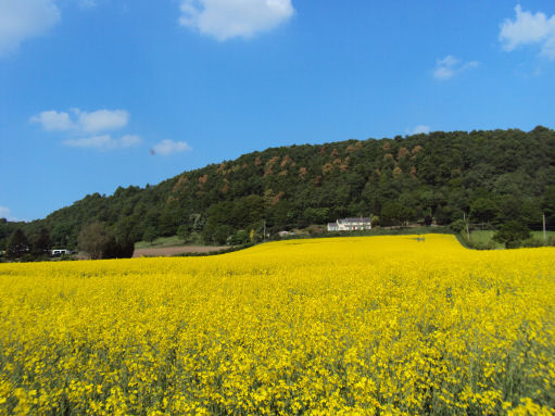
Commencing at Grindley Brook (SJ522433), near Whitchurch, the trail traverses varied scenery to Mow Cop (SJ856573), near Biddulph. The footpath is waymarked with black and yellow discs inscribed 'SCW'.
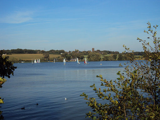
From its starting point at the Llangollen branch of the Shropshire Union Canal at Grindley Brook the trail commences, providing stunning views of the Peckforton Hills to Marbury passing by the Marbury Meres, before heading towards the quaint village of Wrenbury with its impressive medieval church. It crosses the Shropshire Union Canal at Coole Pilate before arriving at sixteenth century Doddington Hall.
Marbury Mere
From Doddington Hall the trail goes on to pass Weston and Haslington before joining the Trent & Mersey Canal at Malkin's Bank. It leaves the canal at Thurlwood and heads toward Little Moreton Hall. Owned by the National Trust the hall is a moated fifteenth century half-timbered manor house. The final section leads to the finish point, near the dramatic folly of Mow Cop.
The South Cheshire Way connects with several other long-distance paths, including the Maelor Way, the Staffordshire Way and the Sandstone and Gritstone Trails.
OS landranger sheets- 117 (Chester and Wrexham) and 118 (Stoke-on-Trent and Macclesfield).