Woodhouses Iron Age Hill Fort
OS Grid ref:- SJ513756
Woodhouses Iron Age hill fort lies to the East of Helsby, and at the northern end of the Mid Cheshire Ridge.
Woodhouses Hill
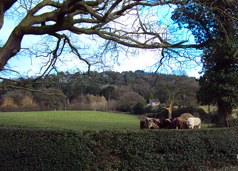
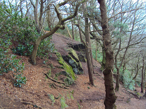
Woodhouses Hill, which rises to 137 metres, has steep cliffs on the western sides, providing a natural defense. It is defended by a rampart to the north and east where the ground slopes more gently.
Woodhouses Hill Fort
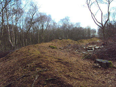
Excavations in 1951 revealed that the rampart was originally 4 metres high and revetted with stone on both sides. A number of small rounded stones, believed to be slingstones, have been found on the site.
The fort site and the surrounding areas fall within Snidley Moor Wood, and is much overgrown with trees, shrubs and bracken. The Sandstone Trail long distance route passes close to the hill fort.
A walk to Woodhouses Hill Fort
Distance- around 1.5 miles
*From the B5393 take the footpath/road with the hill ahead signposted 'Woodhouses Hill'.
*Continue aong the road and at the top, go through the gate and take the signposted path that steeply ascends the hill.
*On reaching a T-junction in the track turn left and follow the track for a short distance, to a point where the path forks two ways, take the left fork and continue along the track, passing sandstone cliffs, until reaching a bench, turn right, ascending the steep path to the summit.
*The hillfort is siituated on top of the wooded mound by the path, a path circles round the mound.
*Retrace your steps to return.